
Go Take A Hike -- okay, yes please!
We didn’t want to be like the many visitors to Acadia National Park that drive Park Loop Road along the beautifully rugged Maine Coast, but never stray to other parts of the park. Acadia begs to be explored by foot with over 120 miles of hiking trails. While we had done a few small hikes, we were feeling guilty that we left a lot of Acadia’s trails untouched. With only a few more days of our stay in Maine, I couldn’t do anything but hike when I found out I wasn’t needed at work on Friday the 13th!
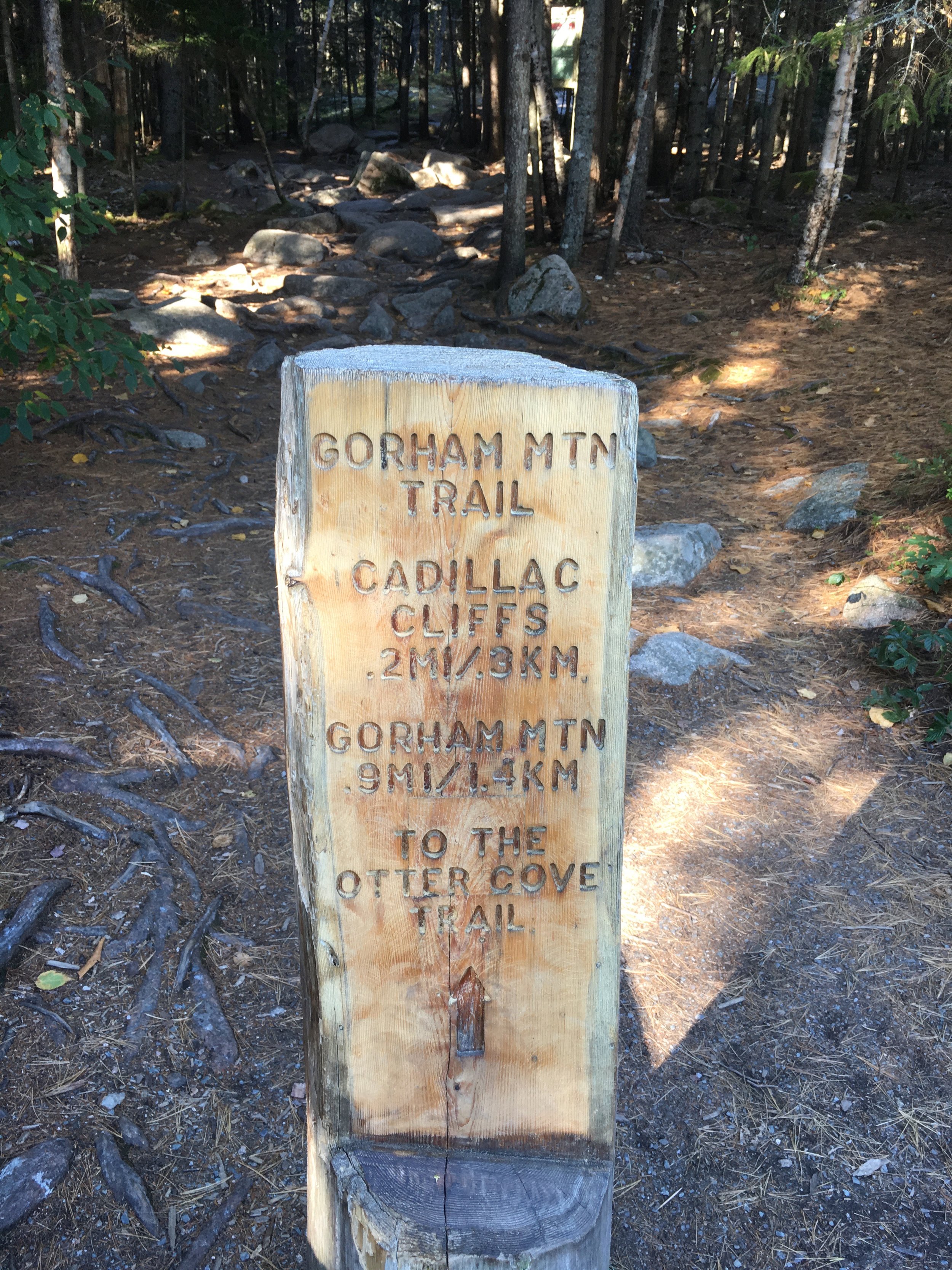
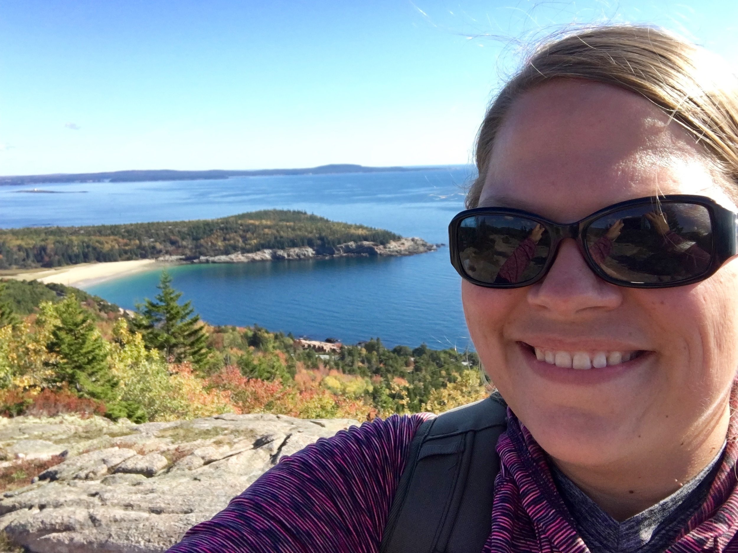
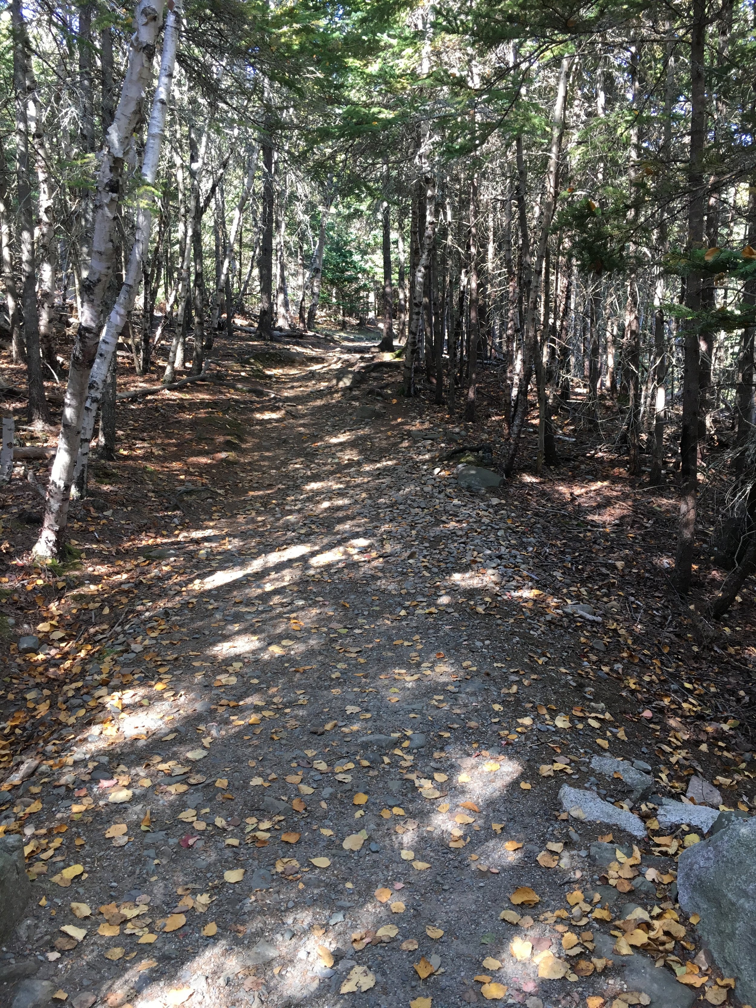
I dropped Russ off at work and left the crowds of Bar Harbor behind as I headed toward a parking lot just past Gorham Mountain along Park Loop Road. With my hiking shoes tied up, snacks and water in my backpack, and my camera close by I headed up the Ocean Path back towards the Gorham Mountain parking lot. I started the moderate climb up the 525 foot peak. After about a quarter of a mile, I was greeted by this plaque on a giant boulder at the junction on the trail.
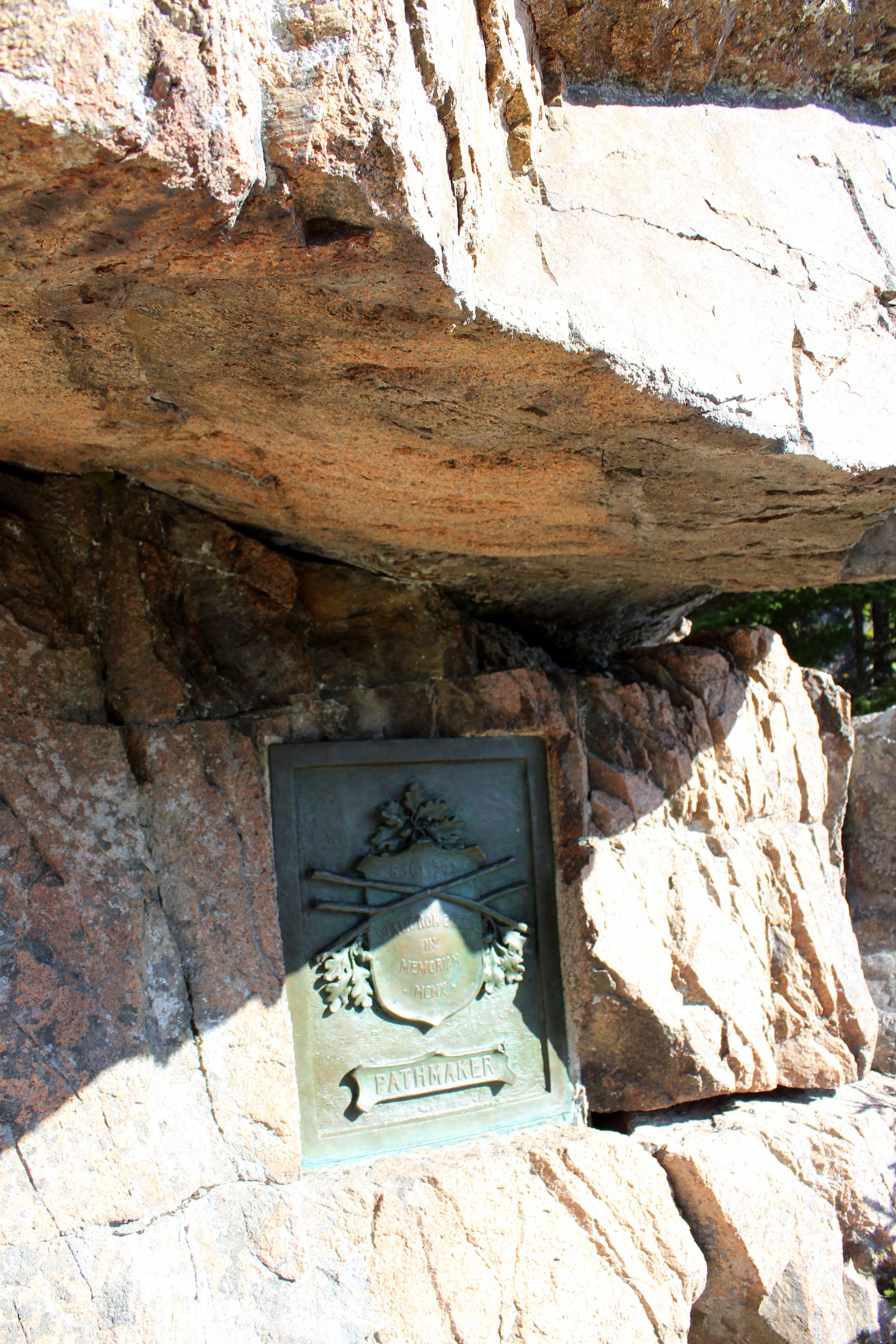
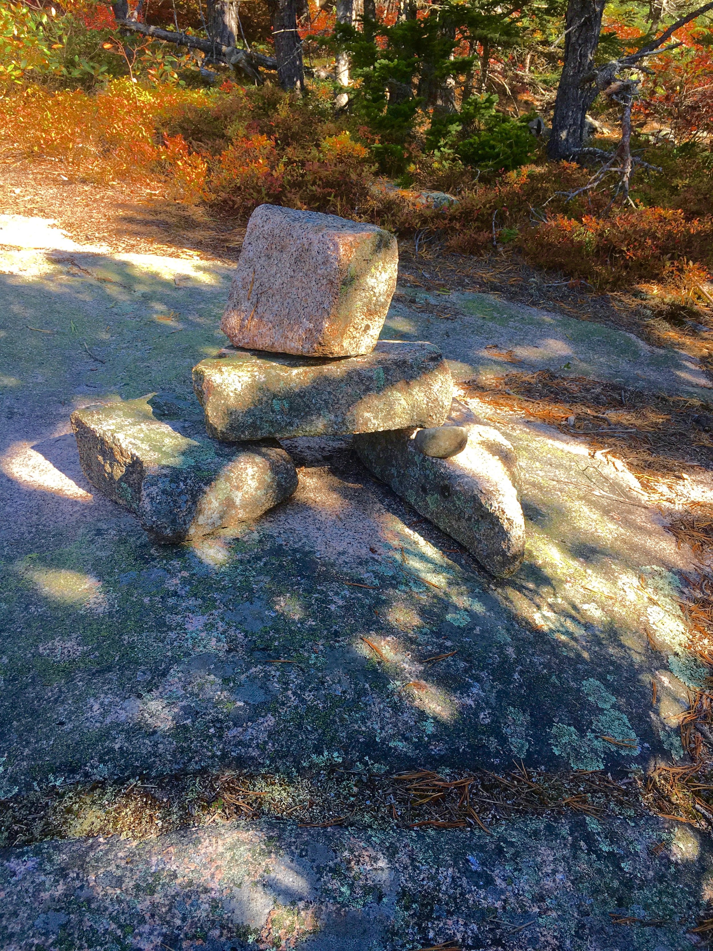
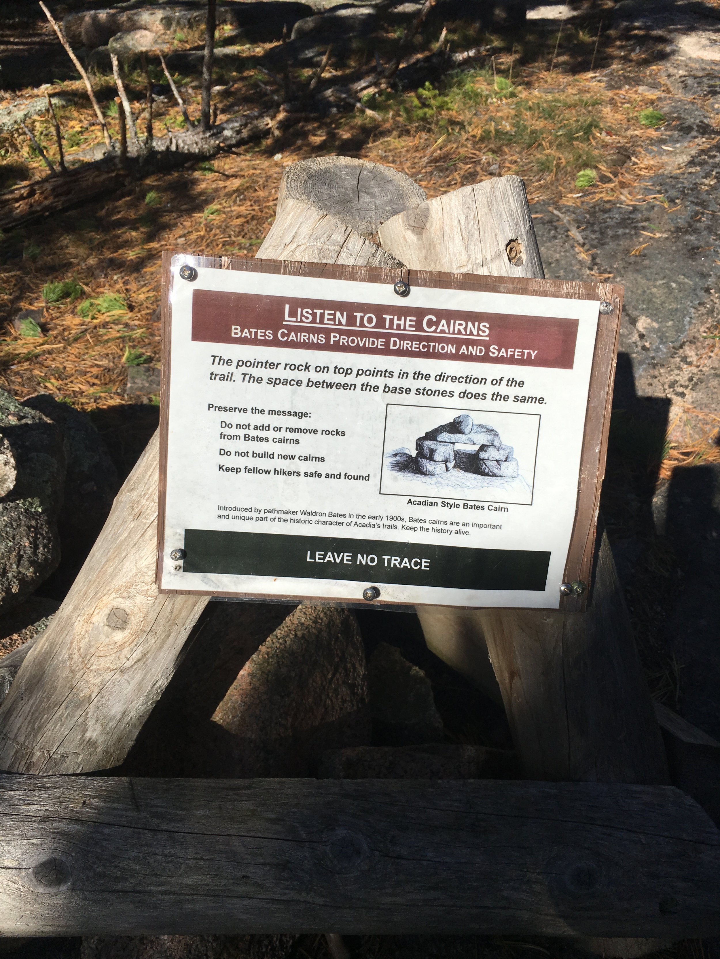
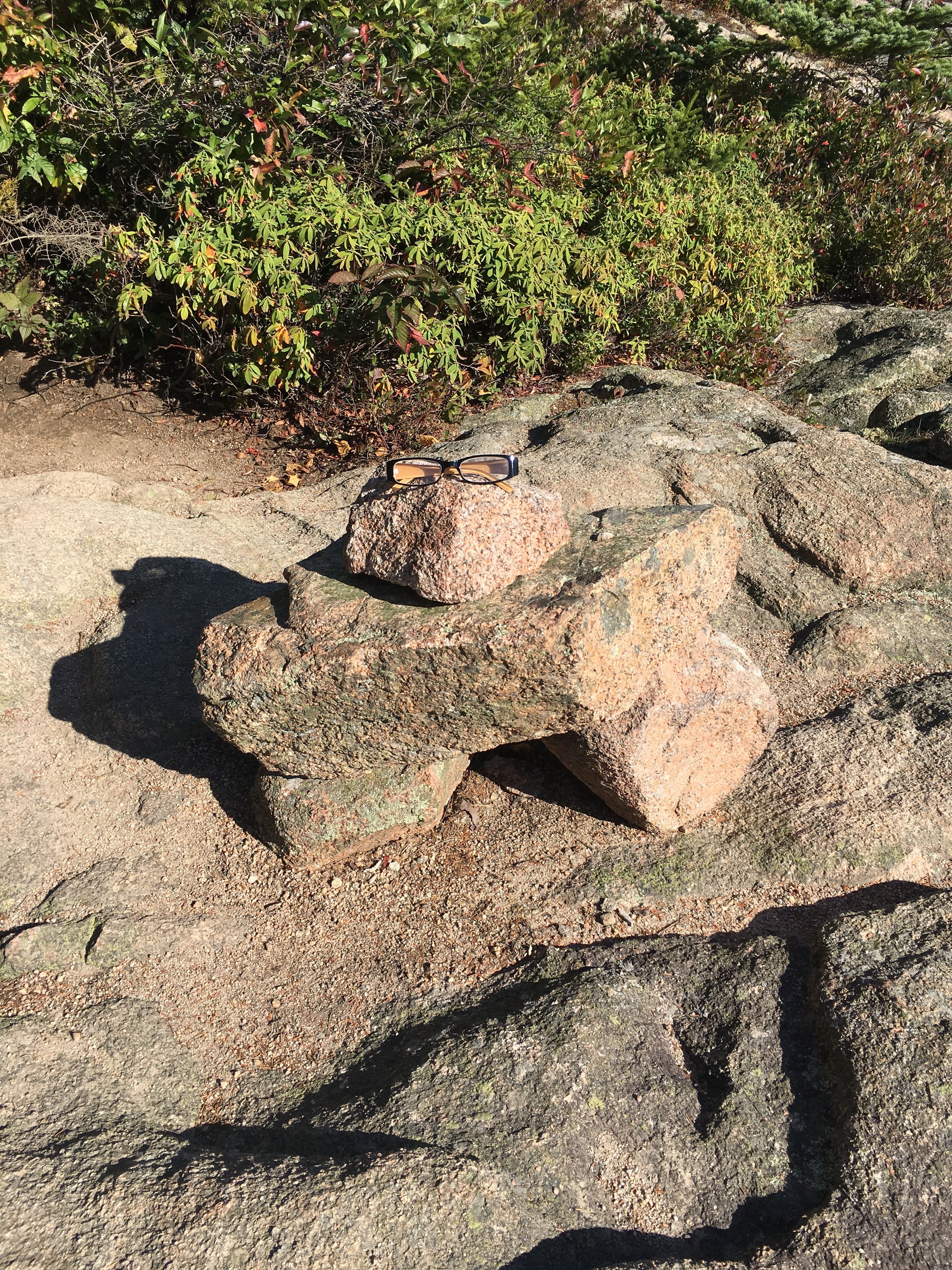
So who is Waldron Bates - Pathmaker? Mr. Bates was the chairman of the Path Committee and twenty-five miles of trails were added under his leadership, including the trail I was standing on right that moment. Plus Waldron Bates was the reason I would not get lost today - he was the lead author of the first trail map for Mount Desert Island as well creating a standard for trail markers still used today: the Bates Cairn. These stacks of rocks are designed to guide hikers. The pointer rock on top points in the direction of the trail along with the space between the base of the stones keeping hikers going in the right direction.
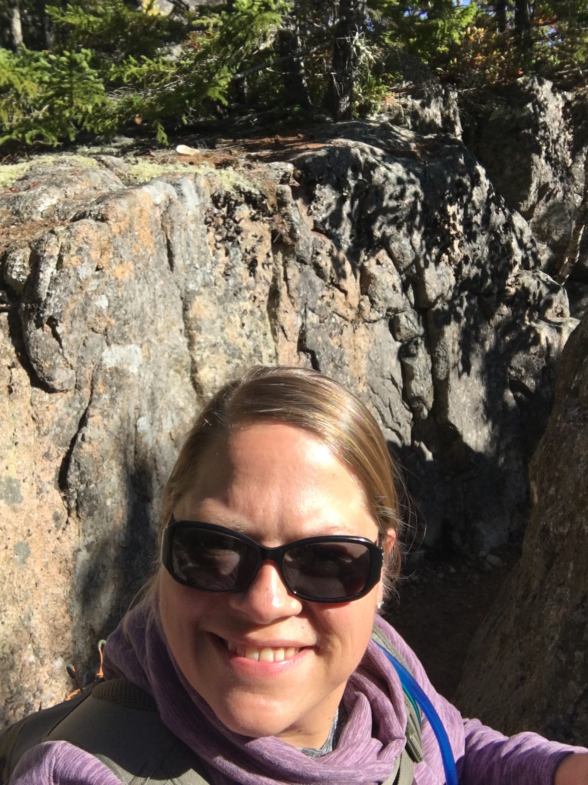
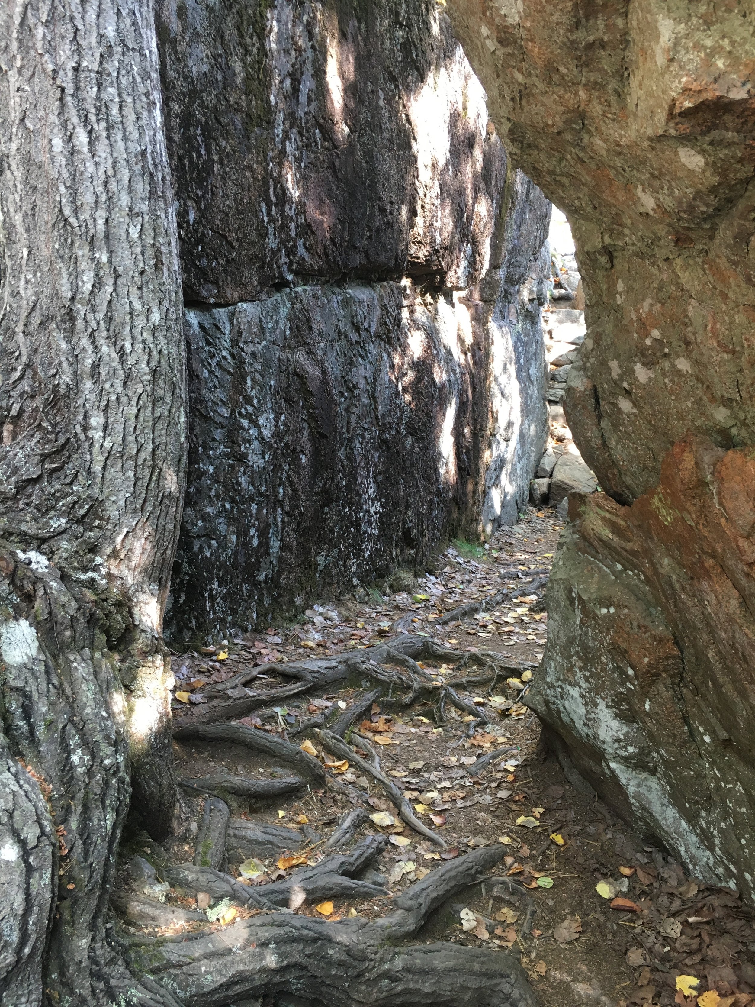
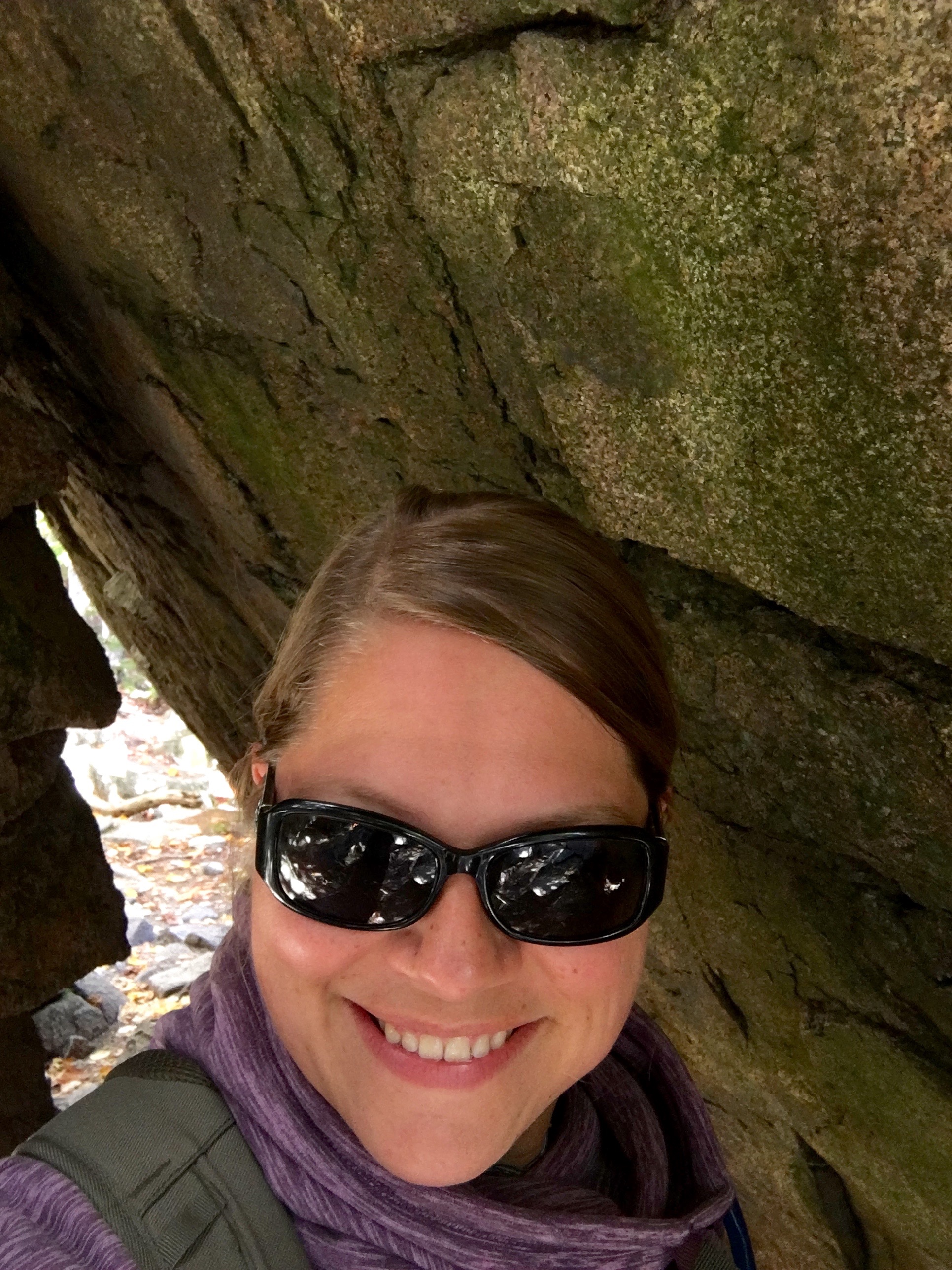
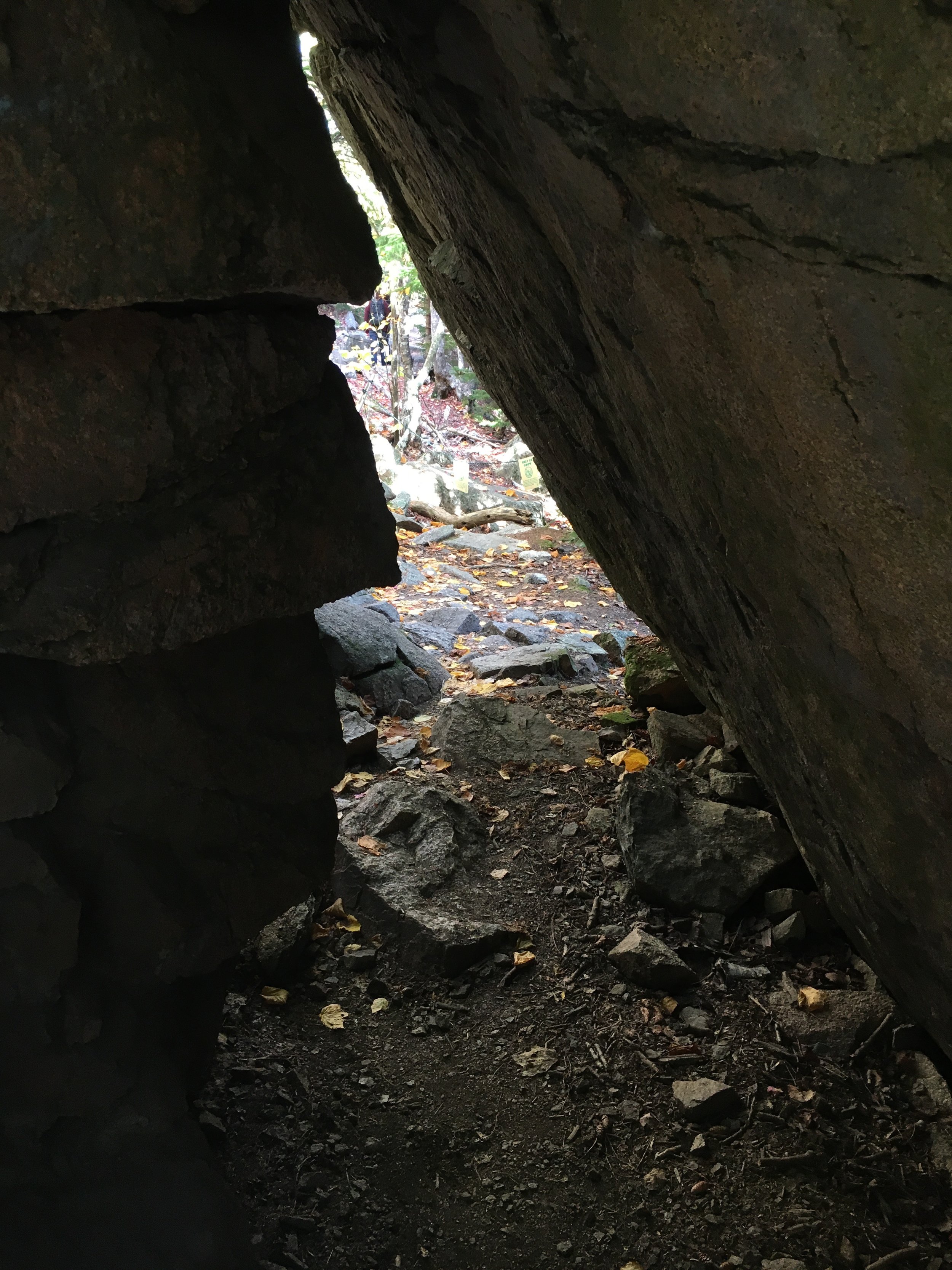
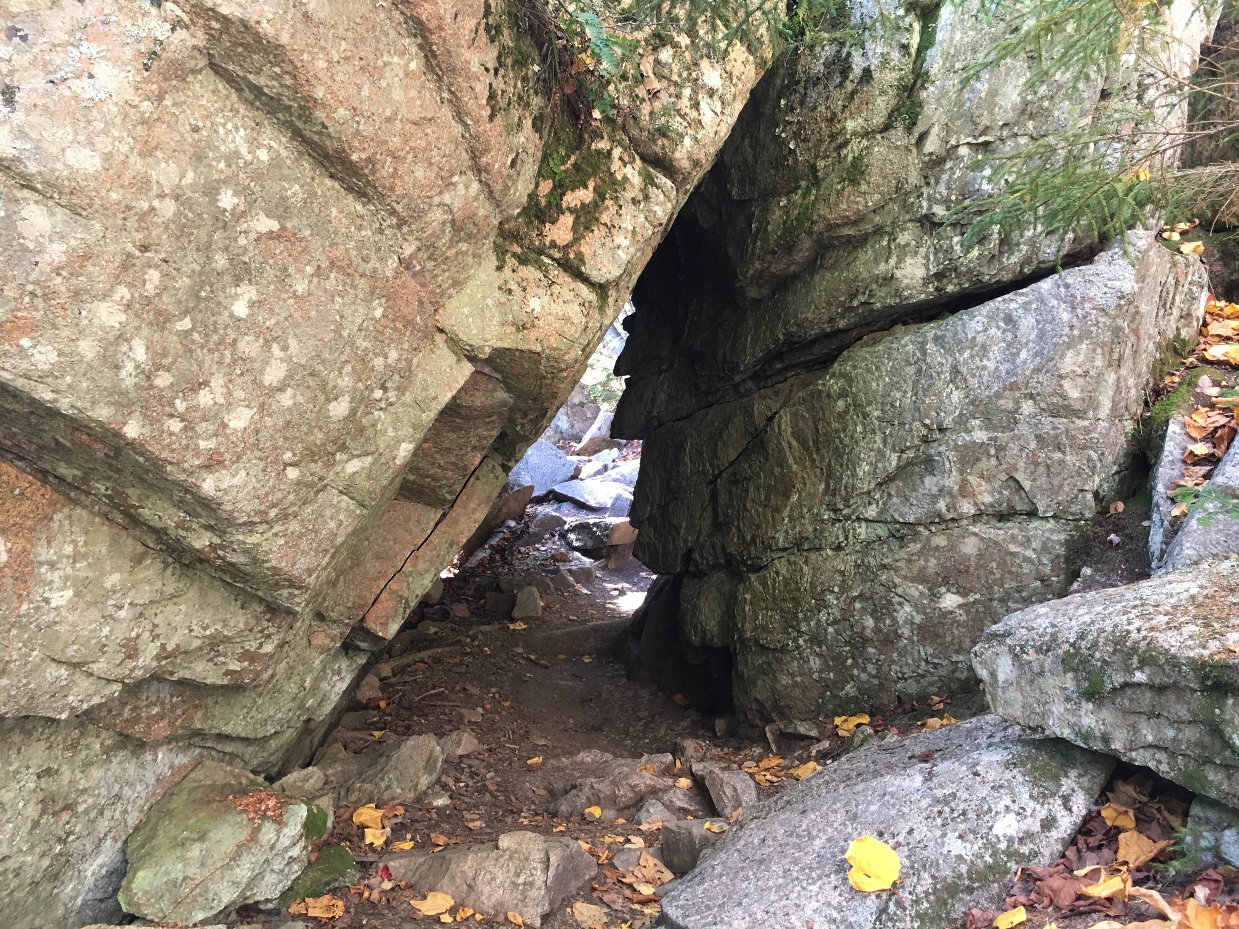
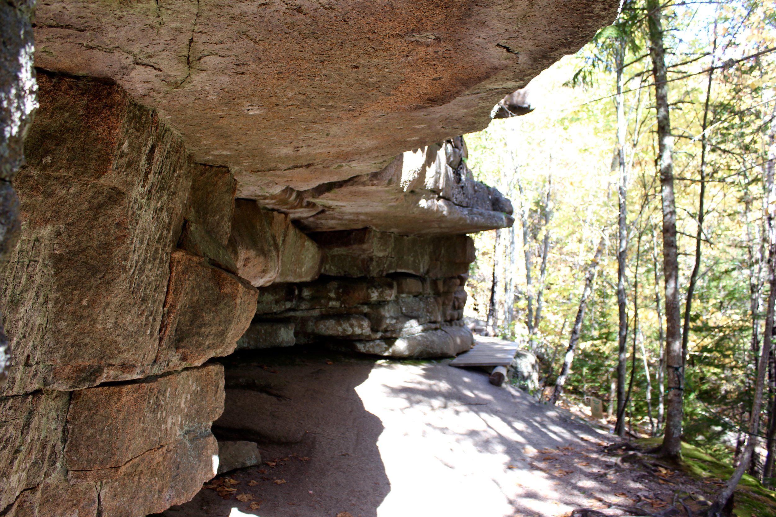
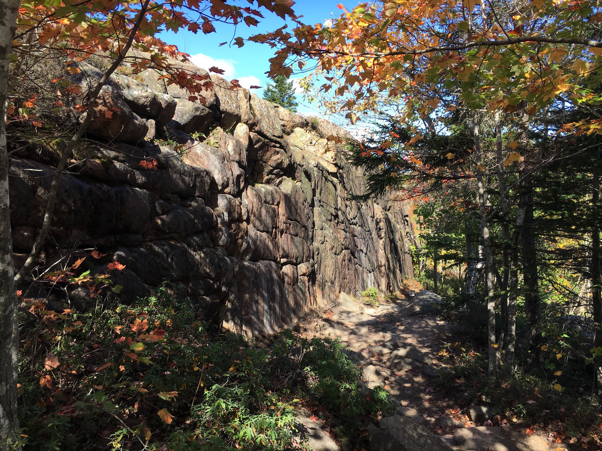
So I tipped my hat to Mr. Waldron Bates and headed toward the Cadillac Cliffs Trail. While I could have stayed on the Gorham Mountain Trail, I decided to give the more challenging Cadillac Cliffs Trail a try. I had heard it weaved between narrow cliff walls, tunnels, and along an ancient sea cave.
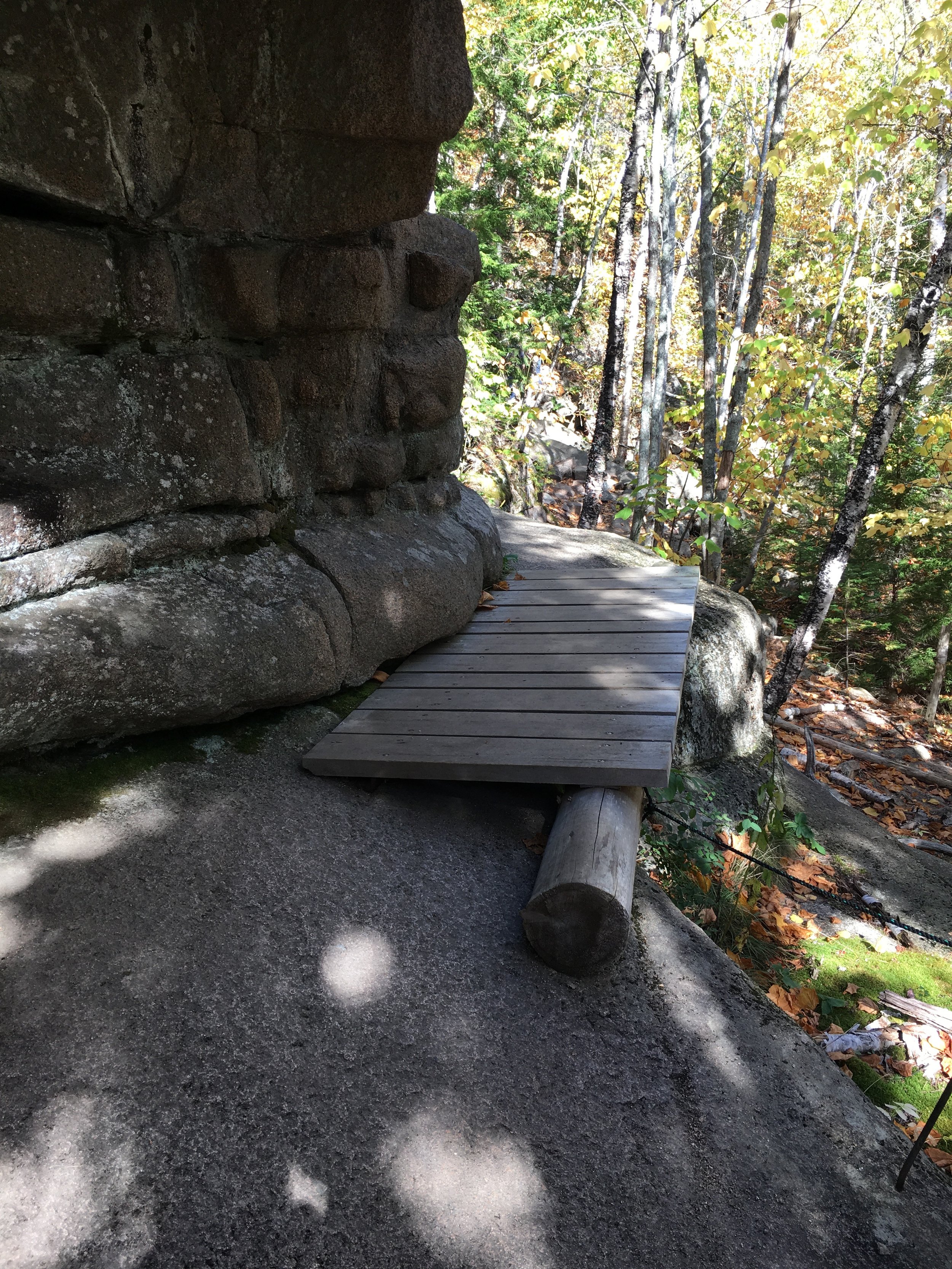
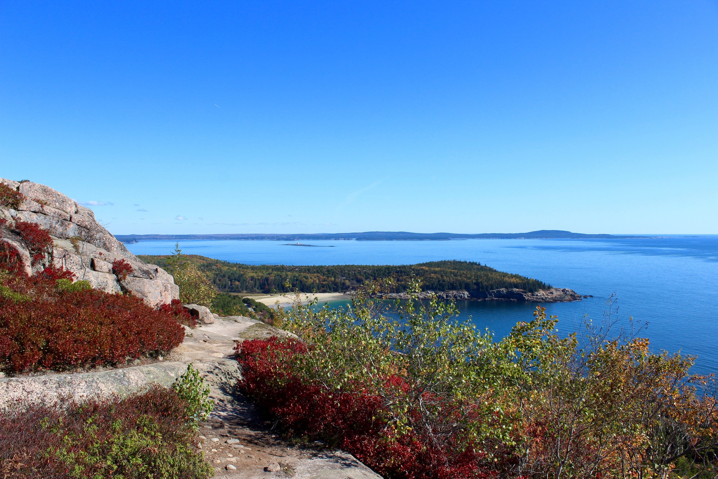
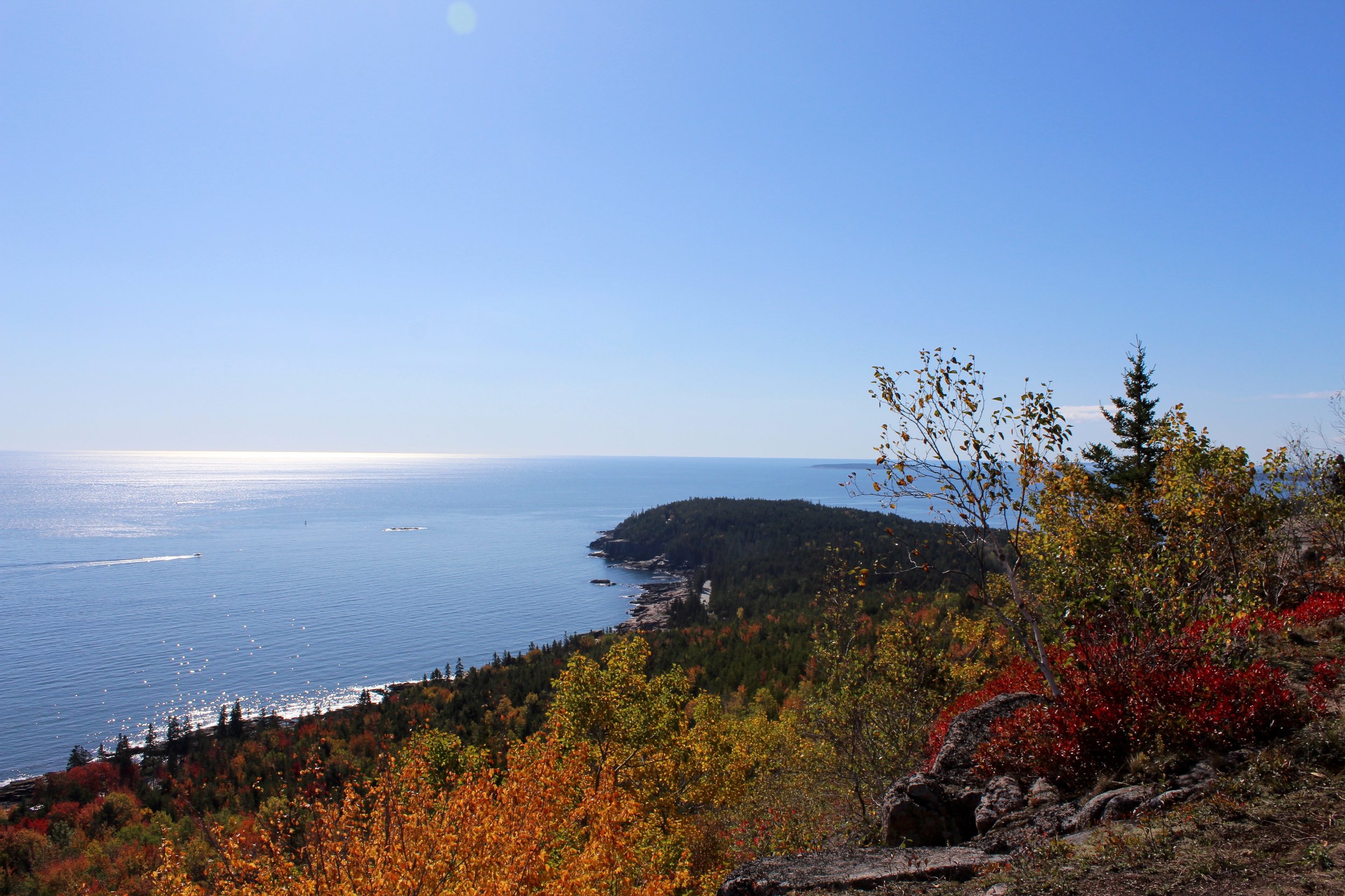
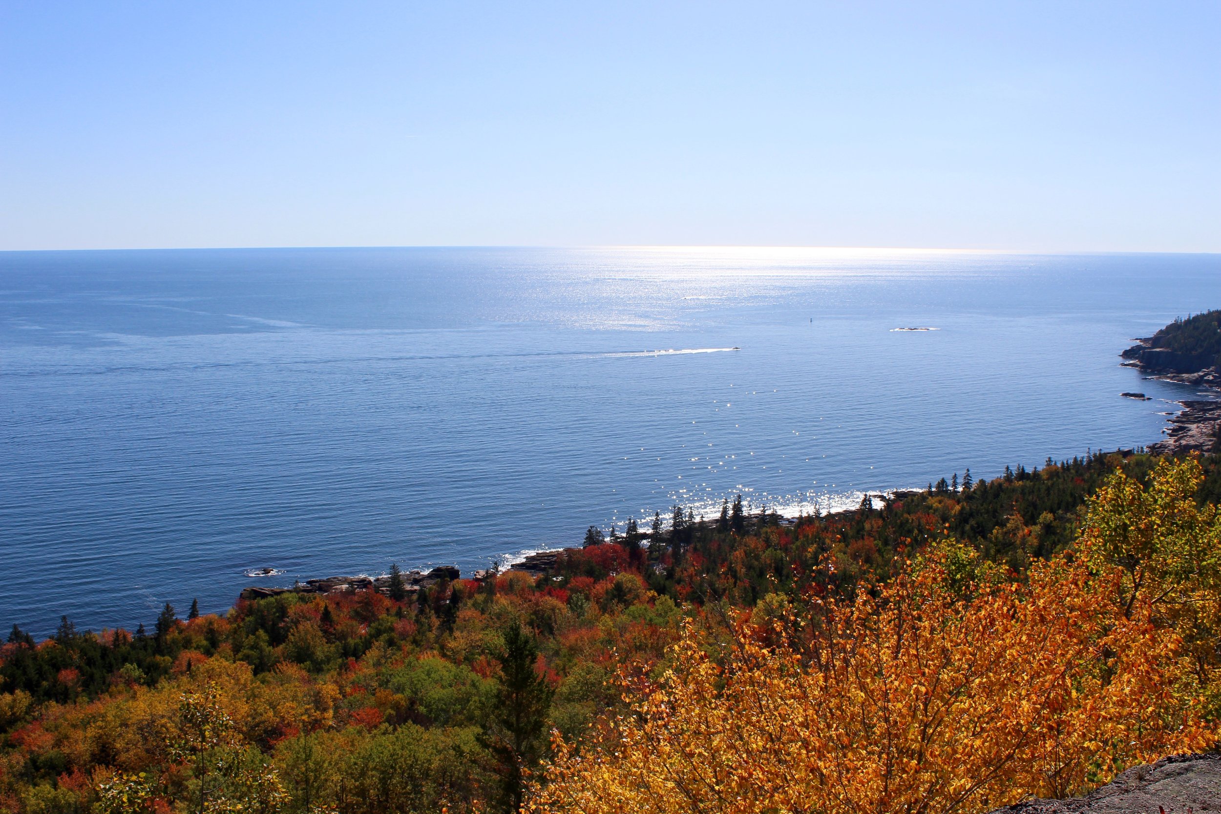
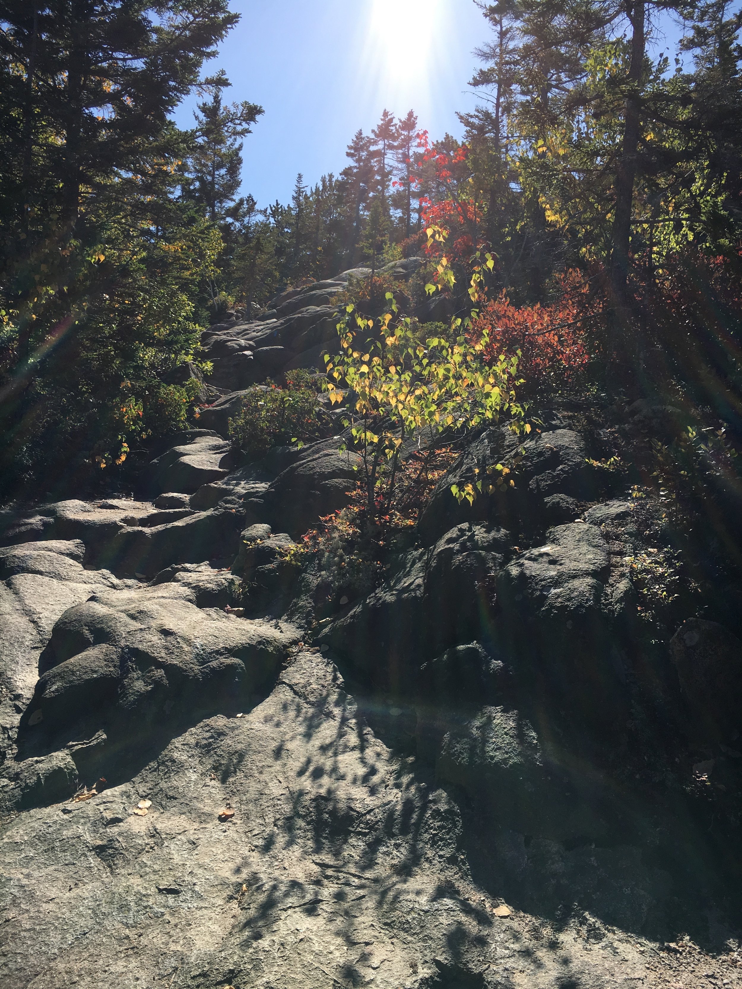
It was well worth it and before long the trails come back together to become the Gorham Mountain Trail. As I continued toward the summit, I was rewarded with incredibly views of Sand Beach, Great Head, and the Atlantic Ocean. The trees were like a colorful paint palette of red, yellow, and orange. I was in awe so much so that I had to let Russ catch a glimpse of the incredible beauty. Hello FaceTime (Apple FaceTime that is, we have face-to-face time all the time)! We like NEVER FaceTime so I was actually surprised when he answered as I figured he would think it was an accidental butt-dial.
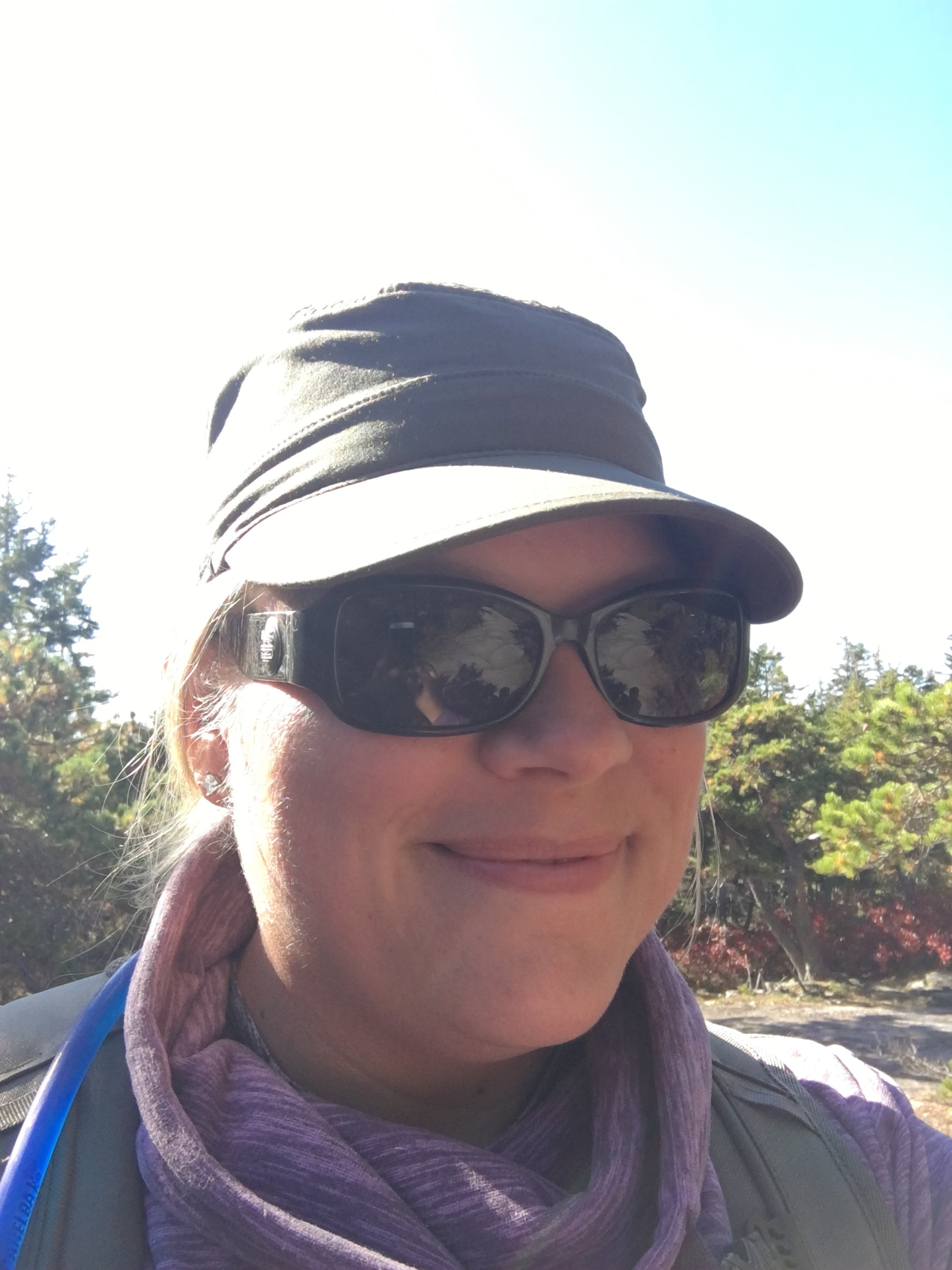
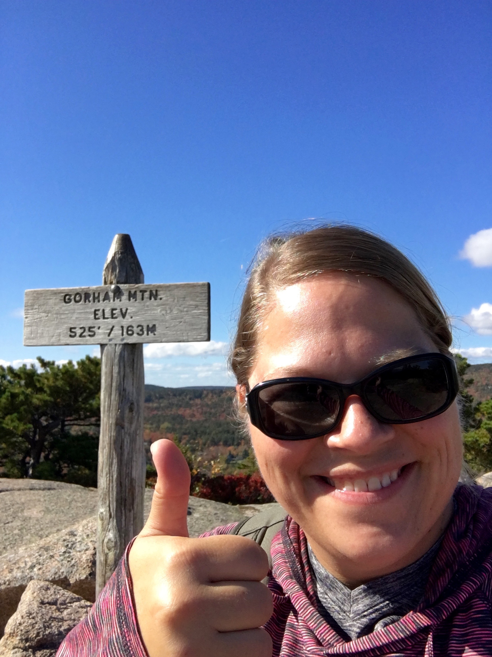
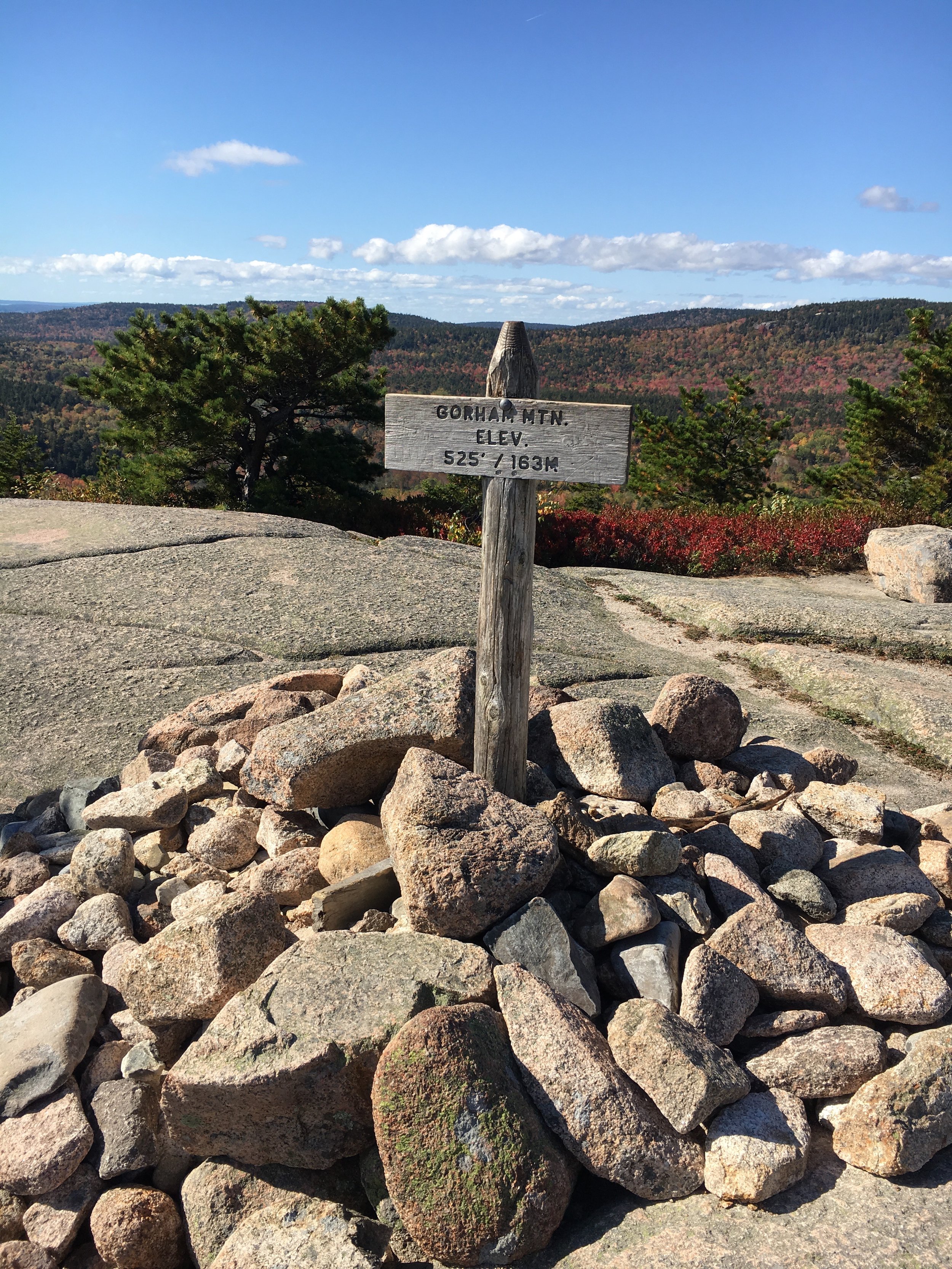
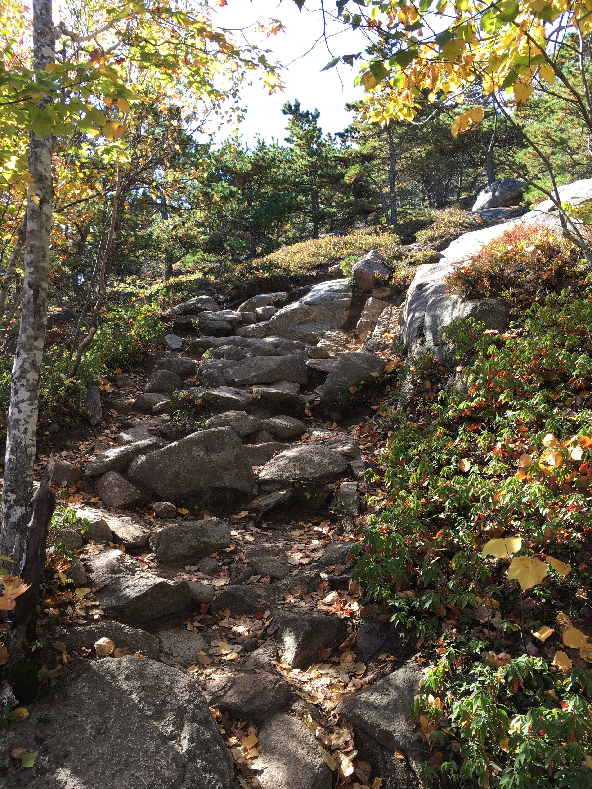
It took me awhile to peel my eyes from the incredible views before continuing on to the summit. I reached the large pile of rocks and summit sign and took the obligatory summit selfie before heading down the other side of the mountain. The descent was quick with many more rocks and roots then the side I climbed.
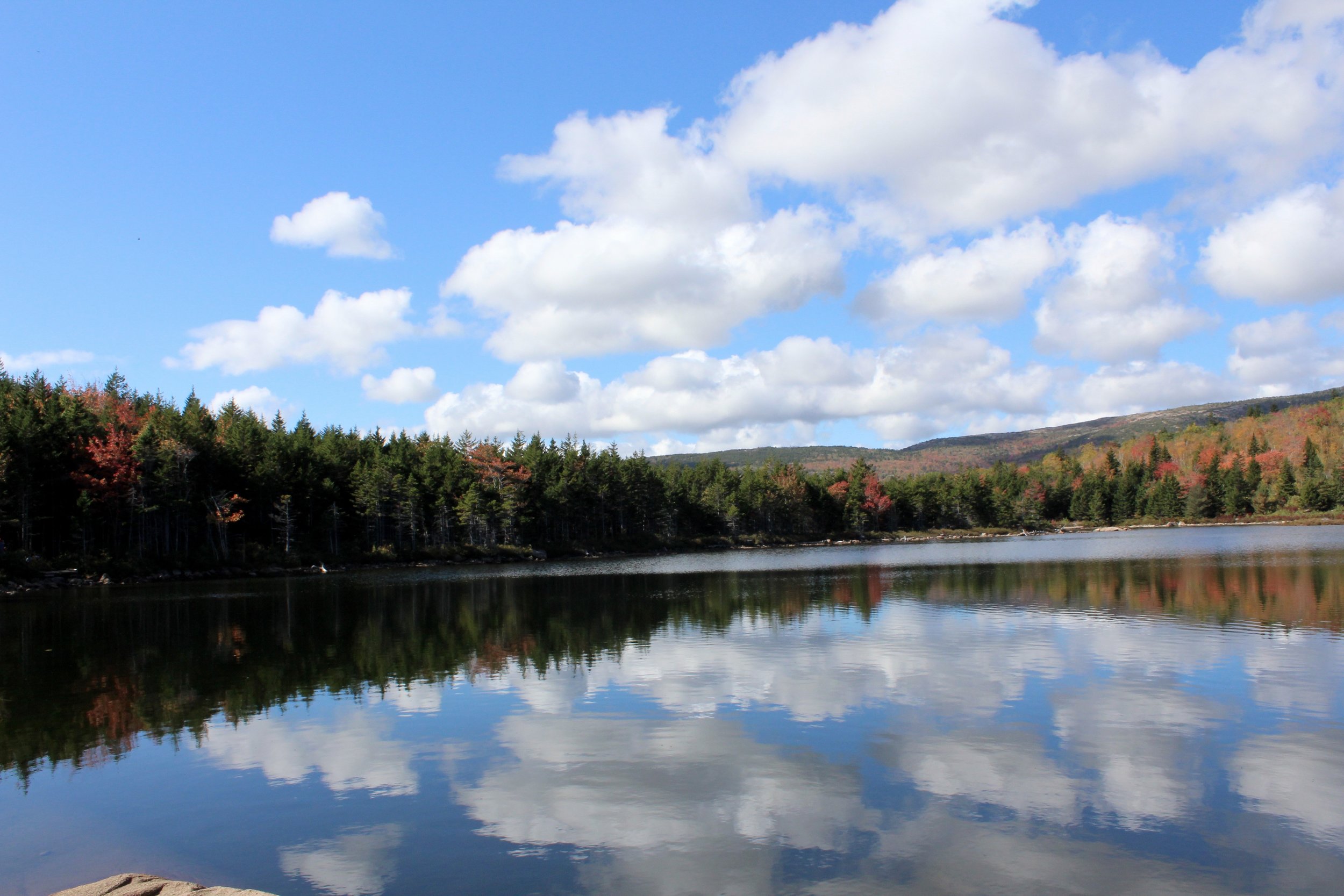
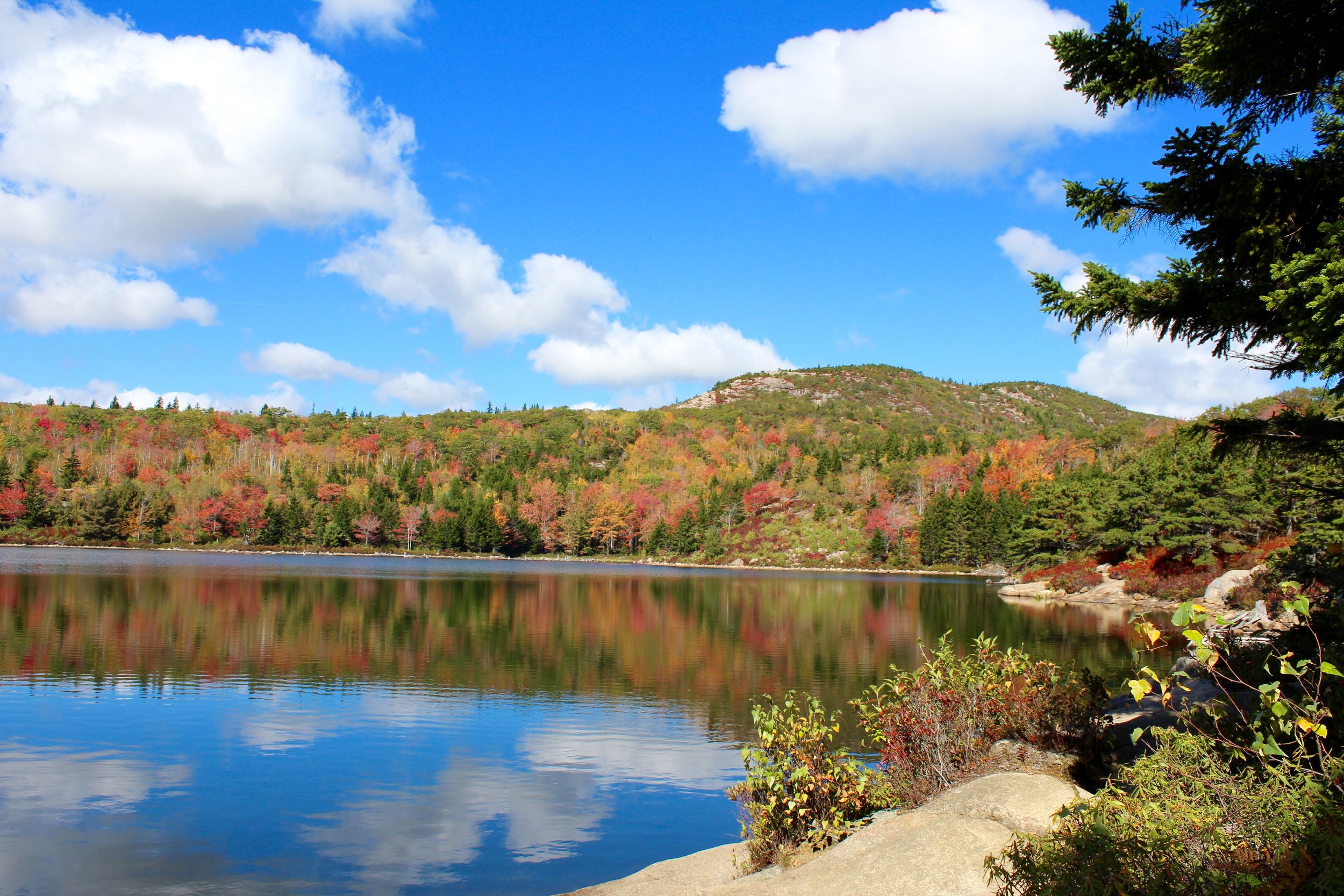
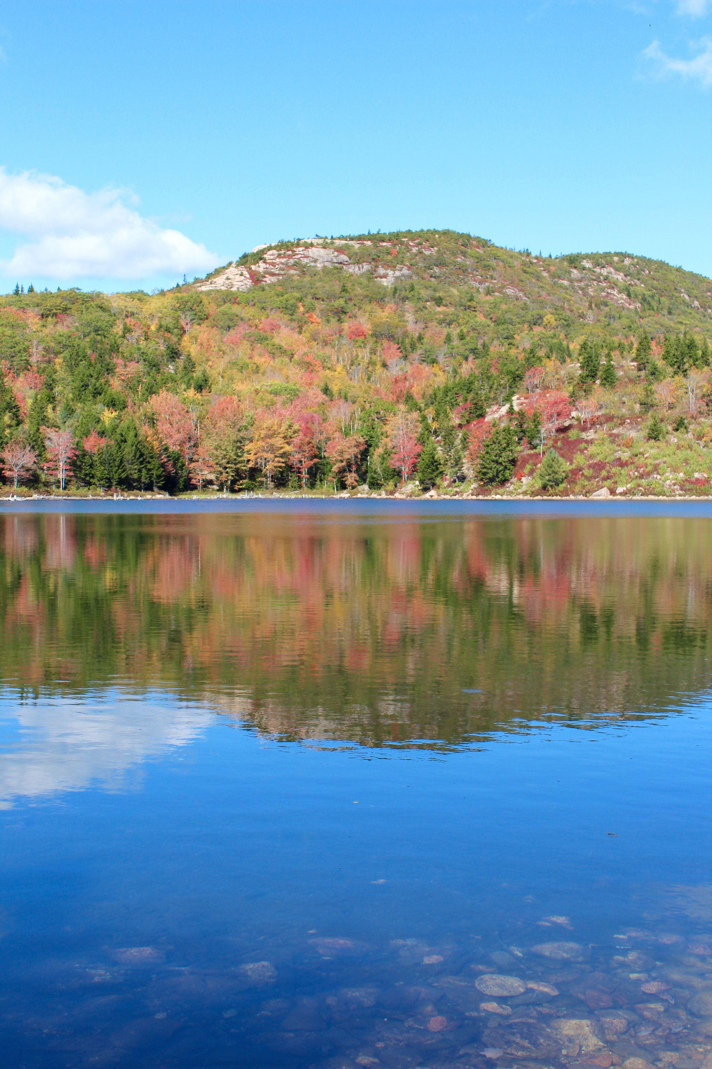
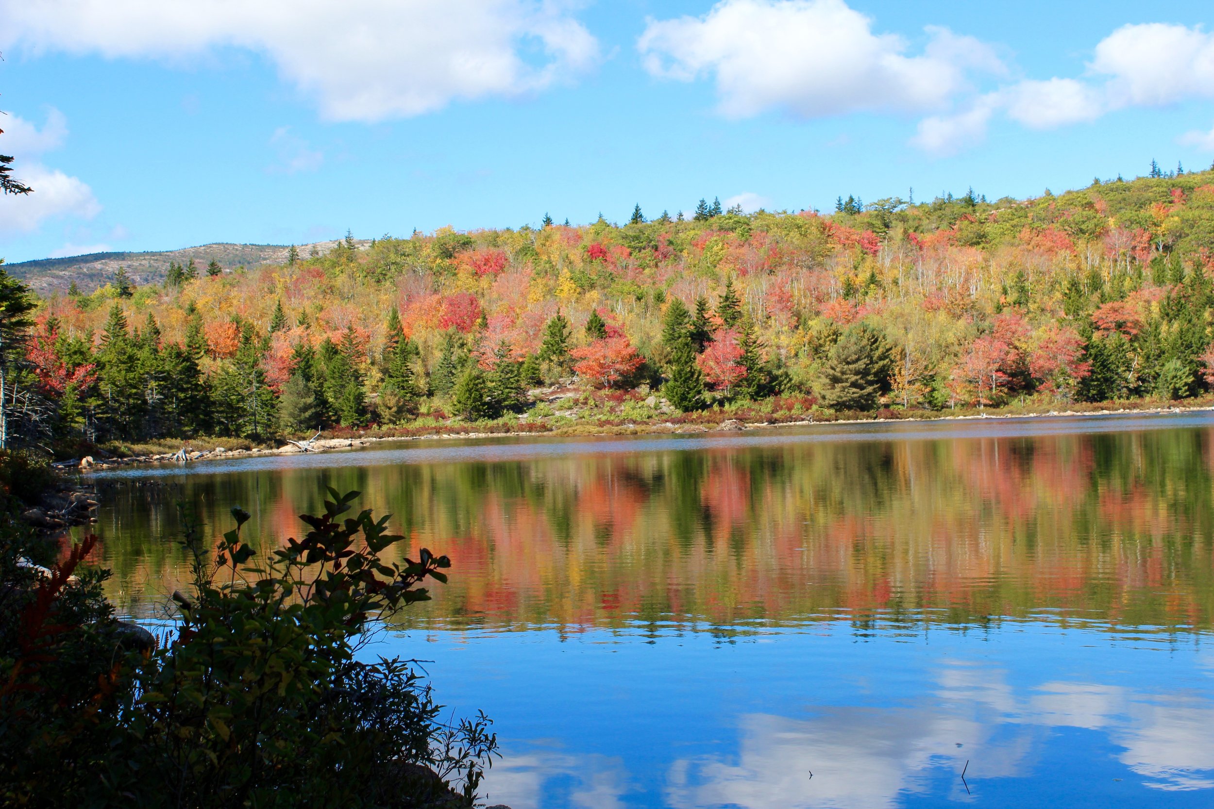
The Gorham Mountain Trail joins the Bowl Trail which would take me to my next destination. This trail climbed rather steeply uphill leading me to to an incredible mountain pond called The Bowl. This beautiful glacial pond is tucked high into the mountainside on the south end of Champlain Mountain. It is found just below the popular & challenging Beehive Hike. This picturesque pond is a great place for a dip for hikers on hot summer days, but today it was just total eye candy with the fall colors and the reflection of the big fluffy clouds. There is a boardwalk outlining one side of the pond and I made my way to a smooth, flat rocky ledge alongside the water. Here is where I enjoyed the snacks I had packed before finishing out my hike. Sitting near the water, my usual thought would be to pull out a good book, but this time in particular I didn’t want to stop looking around. John Muir, a famous naturalist and environmentalist said, “One day's exposure to mountains is better than cartloads of books.” and today I would have to agree Mr. Muir. Just as I was getting ready to depart this mountainside oasis, I heard someone shout “There’s an eagle” and by-golly there was a bald eagle soaring above the water. What a sight and what perfect timing!
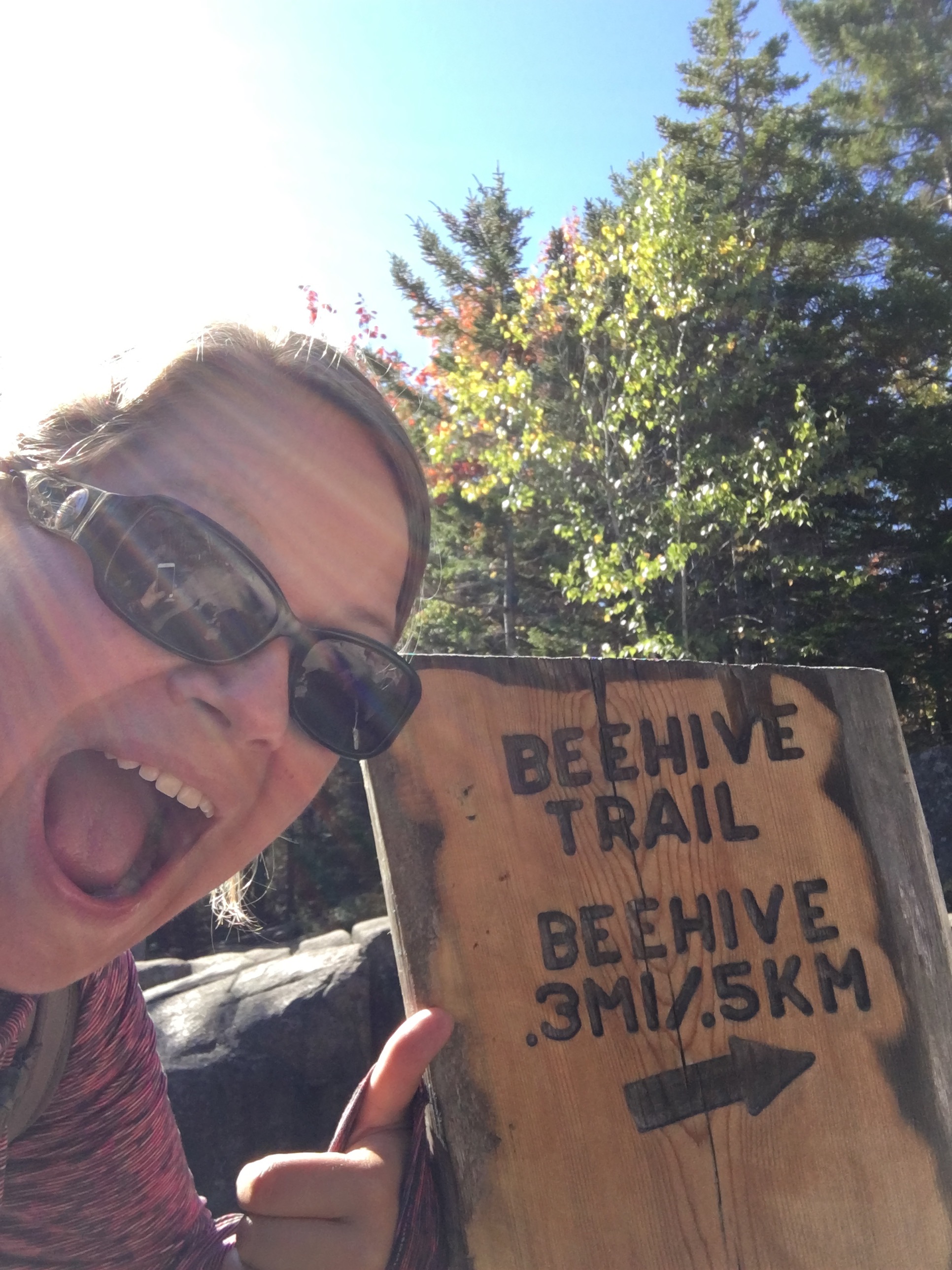
I continued down the Bowl Trail back toward Park Loop Road. This brought me past the trailhead for the Beehive, which was just a bit tempting, but knowing that I was hiking by myself, I decided it wouldn’t be the best option. Before long I was back to the traffic of the park - yuck! But it would be short-lived as I headed to Sand Beach in search of my next trail hike.
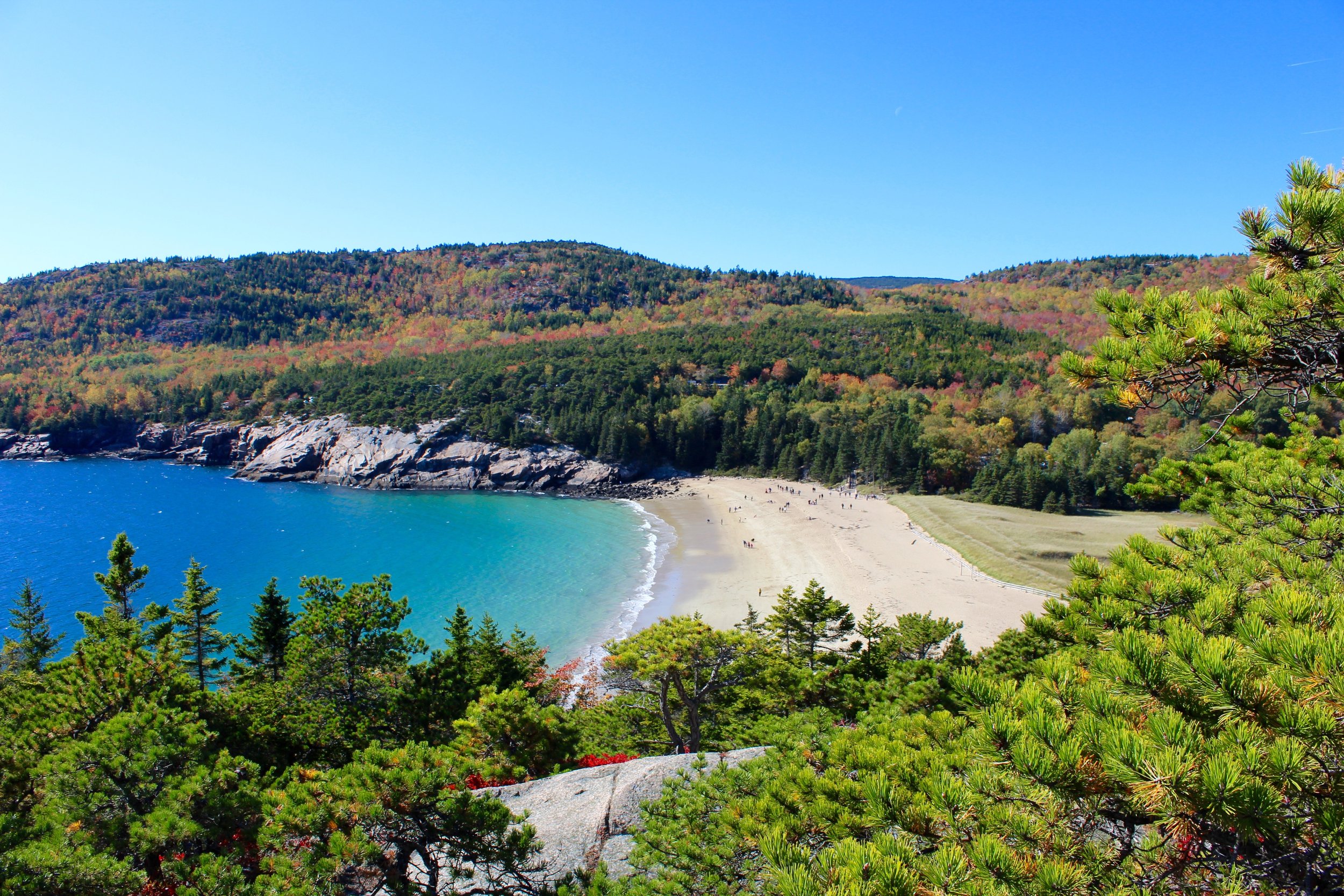
Great Head stands at 148 feet making it the tallest cliff on the east coast of the United States. A stone staircase climbs directly off Sand Beach to access this trail. This is a moderate two-mile round trip, but provides magnificent views of Sand Beach to one side and the Atlantic on the other.
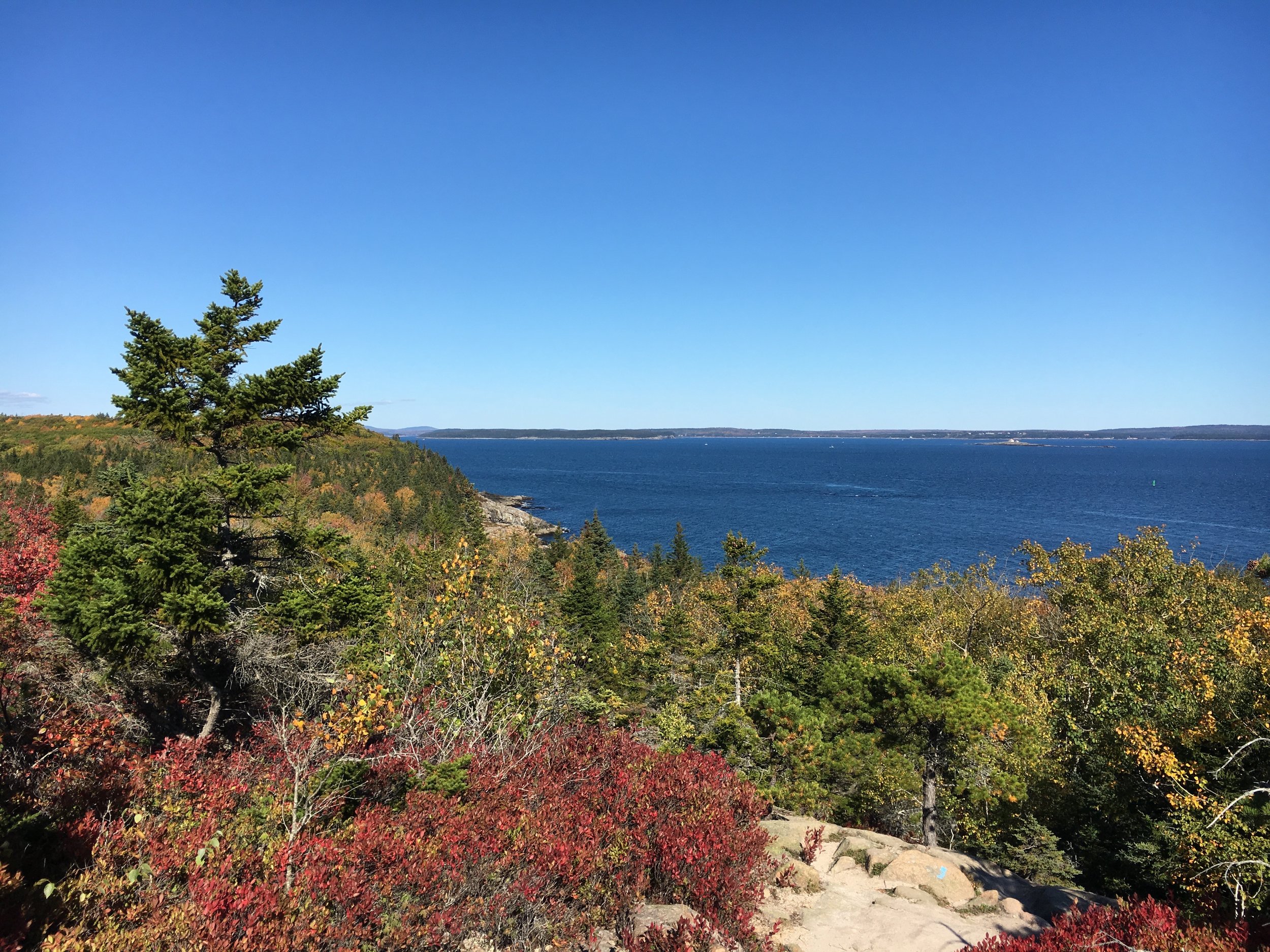
The hike takes about an hour and includes some easy wide dirt road walking and some more thrilling boulder scrambles.
As I continued back to Sand Beach, I picked up the Ocean Path to bring me back to my car. Along the way, I got to enjoy the flat coastal walking trail. Just like most days, it was a bit crowded and at the pace I was walking I did have to dodge a few slowpokes. However, it is so wonderful to see so many people out enjoying the sights of Acadia, including the wildlife like this adorable little chipmunk.

I finished the day hiking at about 9 miles and 73 flights, but more importantly I experienced the quiet strength of the granite heights and the whisper of the Maine pines. Oh Acadia - you are magnificent!


